Teaming up to advance pollution measurement
This ambitious project was possible because of our partners and their wide range of expertise. This started as a collaboration between EDF and Google Earth Outreach to examine methane leaks, and now extends to pollutants that affect local air quality.
This is part of EDF's work to forge inventive solutions to help people and nature prosper. Our hope is that this data serves the people who are most impacted by the quality of the air. To that end, in addition to engaging leading experts in science and technology, we worked closely with communities and in neighborhoods affected by diesel pollution.
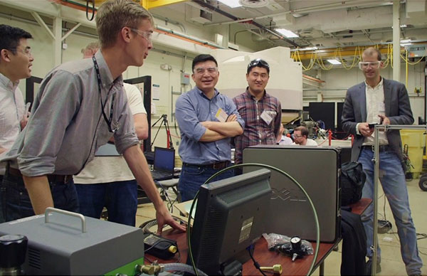
Here's a look at the core project team and how we work together:
EDF convened, envisioned and planned this project as part of our overall goal to improve air quality and human health through the pioneering use of sensor technology.
Google Earth Outreach provided Street View vehicles as well as Cloud storage and technology. Their mapping technology enabled the data collection and allows the data to be visualized in a user-friendly way.
Aclima, a partner of Google, equipped the Street View cars with its sensing platform to measure and manage the collection of research-grade air pollution data.
The University of Texas at Austin collaborated with us on the scientific elements of the study, planning where the cars drove and developing the analytical approach to produce the data for the maps.
West Oakland Environmental Indicators Project (WOEIP) provided the perspective of residents who live with diesel pollution every day. They serve as community liaisons and experts in the field of citizen science and policy in Oakland.
Bay Area Air Quality Management District (BAAQMD) provided data on regulatory-grade monitors, co-location services, and general air quality and Bay Area air quality expertise.
This project is just one in a long series of innovative EDF collaborations that help us solve problems on a greater scale.