


Annual report archive
Featured reports
-
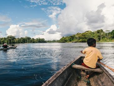
 Annual Report
2025: Global reach, local impact
-
 Annual Report
2024: Big ideas, bold action
-
 Annual Report
2023: Vital work around the globe
View annual report PDFs
- 2025 annual report
- 2024 annual report
- 2023 annual report
- 2022 annual report
- 2021 annual report
- 2020 annual report
- 2019 annual report
- 2018 annual report
- 2017 annual report
- 2016 annual report
- 2015 annual report
- 2014 annual report
- 2013 annual report
- 2012 annual report
- 2011 annual report
- 2010 annual report
- 2009 annual report
- 2008 annual report
Your gift can help reduce dangerous pollution around the globe
Give now to defend our planet:
Triple your impact to reduce pollution and safeguard our health
Give now to defend our planet: